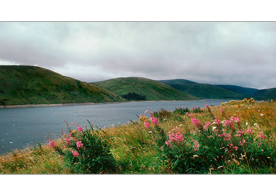
Tala Reservoir
Starker Wind über dem hoch gelegenen Tala Reservoir, zwischen Cappercleuch und Tweedsmuir
Aus dem Archiv: September 2001 - Nikon FE - Diascan
Etwas Begleitmusik:
http://www.youtube.com/watch?v=mwz1tvzP96I&feature=related
The Tweed has its source in a spring in the upper part of the parish, which has an elevation of 1500 feet above the sea. It flows for ten miles through the parish, receiving in its progress numerous tributaries, whereof the Core, Fruid, and Tala, which all have their sources within the parish, are the principal; and after leaving the district, it pursues a winding course of more than ninety miles, and falls into the sea at Berwick. At the base of the hill in which the Tweed rises, and which is about half a mile from Lanarkshire on the west, and from Dumfries-shire on the south, are found also the sources of the rivers Annan and Clyde. All the streams abound with trout, par, and eels; and in the Tweed, salmon of considerable size are frequently taken. Among the smaller burns is the Gameshope, which is a tributary of the Tala, and in its course spreads into a small lake, about 600 yards in circumference, said to be the highest water in this part of the country; it abounds with excellent trout of a dark colour, and is much frequented by anglers.
http://www.british-history.ac.uk/report.aspx?compid=43485&strquery=Tala
http://borderslife.blogspot.com/


Joachim Irelandeddie 02/11/2013 15:07
Eine sehr schöne Landschaftsaufnahme ist das aus einer schönen tiefen Perspektive aufgenommen!lg eddie
Peter Kuster 09/01/2008 23:51
Eine Traumlandschaft, gefällt mir sehr gut.LG Peter
PeterHuber 30/12/2007 20:51
Schöner und für mich ungewohnter Kontrast. Ich kann mich nicht erinnern während meiner Herbsttouren auch nur eine einzige Blumenwiese gesehen zu haben. :-OGrüße
Peter
Der Markus Art-Light-Pics 10/12/2007 12:21
Was für eine wunderschöne Natur!LG
Der Markus ;-)
Dirk Steinis 08/12/2007 20:14
what a beautiful landscape!die Pracht der schottischen auch noch im Scan gut sichtbar,
lG
Dirk
Ernst Erdle 08/12/2007 19:41
Hör mir gerade Andy's Ceilidh (Internetradio) an und betrachte dazu Dein Bild, eine wirklich schöne Kombination.http://www.internetradio.co.uk/andy.html
LG Ernst
Winfried Mossa 06/12/2007 19:51
Hallo Manuel,eine Wunderschöne Serie aus Deinem Diaarchiv stellst uns hier vor. Ein Bild ist schöner als das Andere, dazu die schöne, passende Musik.
Danke Manuel, Du machst Lust auf Schottland.
LG Winfried
marta w. 06/12/2007 18:32
das ist so wunderschön....ein bild zum geniessen....ich mag es sehr.
lg marta
Gudrun Raatschen 06/12/2007 16:38
Noch mehr Blumen, diesmal alle wild, aber nicht weniger schön. Traumhaft.LG Gudrun
BRYAN CRUTE 06/12/2007 14:07
Beautifully presented landscape Manuel.Hope you are keeping well my friend ?
Regards
Bryan
Gerd Frey 06/12/2007 10:47
ja, eine typische border-landschaft.gruß gerd
Stefan Jo Fuchs 05/12/2007 21:02
zum geniessen und träumen - bin eh gerade so furchbar schottland-sehnsüchtig, du machst es mir nicht gerade leichter;-)lg stefan